I’m very grateful to have access to the wild lands and open skies, but also to technology like satellite photography and doppler weather radar. While the low, dark clouds over my home in Denver’s Bear Valley near the South Platte River Valley would have grounded me and my drones, I could see in the satellite images where there were potential gaps in the clouds—clear sky. I had thought this might happen when making my plans the night before, but I knew that I would have to wait until the morning to find out where I would go, eventually.

At top, high clouds over Colorado; at bottom, fog over the South Platte next to the Foothills.
The trickiest part of the whole escapade was driving through the fog, where one wrong move could have ended the journey. I didn’t really know that the skies would clear, not being a meteorologist in any sense, but my guesses turned out correct, and a short drive up US Highway 285 to “Windy Point” near the “Double Header Ranch Estates” subdivision took me up over the fog.

Looking northeast over Mount Falcon on the left, the cloudbank pushes up Turkey Creek.
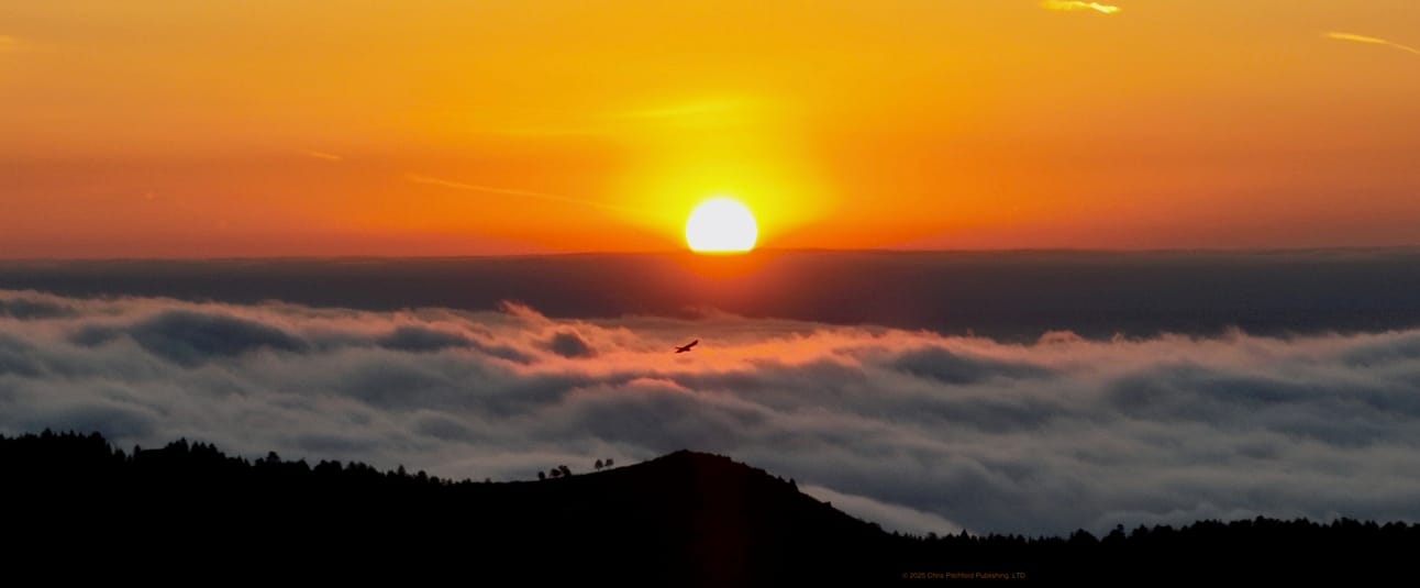
I could see my other option from where I was, as Surrey Ridge and the high lands above Highlands Ranch were clear, too. I was lucky that it all turned out well. And not to put too fine a point on it, extremely lucky that a bird, once again, flew into my camera’s field of view just as I was pressing the shutter and just as the sun was rising.

Sunrise, taken with a DJI Mavic 3, 26 April 2025.
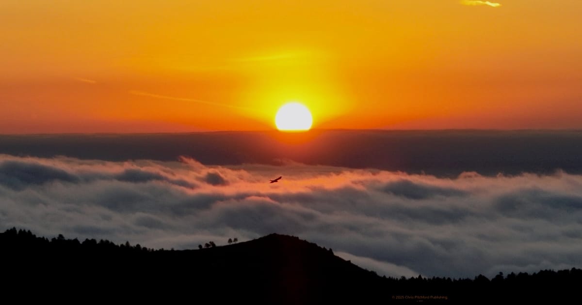
The wide angle presentation covers so much landscape, literally and metaphorically. Of course, with the format of this presentation, I also want to share a vertically oriented detail, or portrait view, of the same photo. The fog has its own “spray” which form into “waves” and instead of the Colorado plains, I’m next to an ocean? I think it’s the position of the bird and proximity to a shadow in the clouds that helps change the scale and implies a different geography.

Detail from the sunrise above.
South Turkey Creek had the densest fog locally, and driving home through it was like driving through the clichéd pea soup. The fog even seemed tinted almost green?

Rolling like waves, the clouds pushed up against the mountains.
I was standing in shadows, while the camera drone itself was in the light of the rising sun. The camera able to capture so much, even the shadows the clouds cast upon themselves.

Did I mention clouds like rolling waves?
The fog seemed to splash and spray against the hills.

View northeast from over Windy Point.
The ability to zoom in on the details was astounding. But so, too, was the bigger picture.

Sunrise over South Turkey Creek.
Once the sun rose, it shone bright and clear on “Old US Highway 285” and the upgraded path to Aspen Park in the west.

View to the west, including Meyers Ranch Park and Aspen Park.
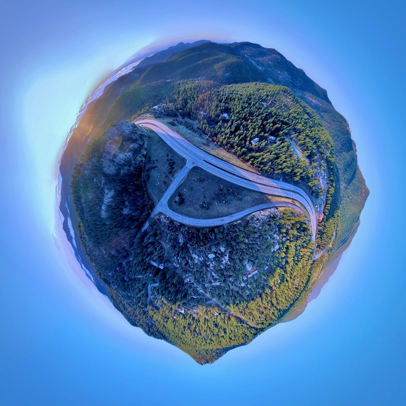
And from where I was, it seemed like I was in, once again, my own “tiny world!”

360° panorama, in the style of a “tiny planet” over “Old US Highway 285”
Thanks for reading all the way to the end, and I look forward to hearing from you!


