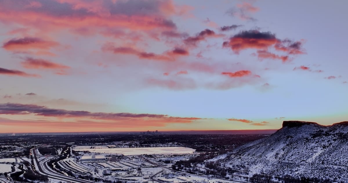
Every time I visited, I told myself to stop to photograph but never did. It took planning in order to get there, a little spot in between Fairmount to the east and Golden to the west, and right in between North and South Table Mountains, for good measure! Finding a stop off of the highway that I had traveled many times was both fortunate and a long time in the making.
The Scots poet Robert Burns denigrated the one who “Looks down wi' sneering, scornfu' view” in his “Address to a Haggis,” but let’s consider the verse here, along Clear Creek in Jefferson County. The first city ever incorporated in this county was called Arapahoe City in 1859, at a location near where I took these photos. However, nothing from the original town is still around. Only a fenced-in stone memorial marks its existence. Maybe the last line of Percy Shelley’s ‘Ozymandias’ might also be appropriate: “Nothing besides remains…”
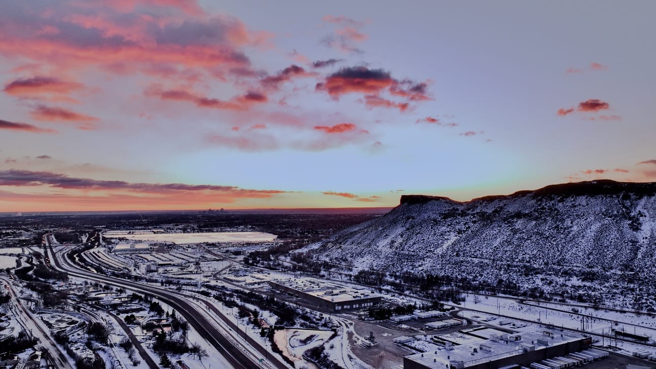
Golden’s manufacturing base and Clear Creek beneath South Table Mountain, 22 January 2025.
But looking down upon Clear Creek from the perspective at the top of the canyons or even from a drone, I can imagine a simpler life. However, in accessing a quiet little spot in the pre-dawn chill for taking these photos, I had to balance the prohibitions against drone photography on all sides! Drone use can certainly be “looked down upon” if not actually “wi' sneering, scornfu' view.”
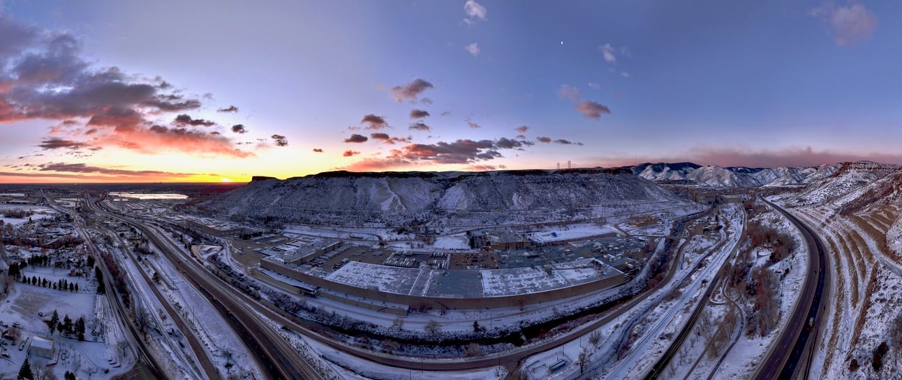
180° Panorama of South Table Mountain, with Fairmount on the left and Golden on the right.
Both North and South Table Mountains are mostly covered by Jefferson County Open Space rules and regulations to protect the fragile environment in an already toxic industrial environment. Unfortunately, one of those rules prohibits flying drones in or from any of the county open spaces under any circumstances, so I have to content myself with flying near, but not over, the parks. I live near many parks and open spaces, so I can appreciate rules like this!
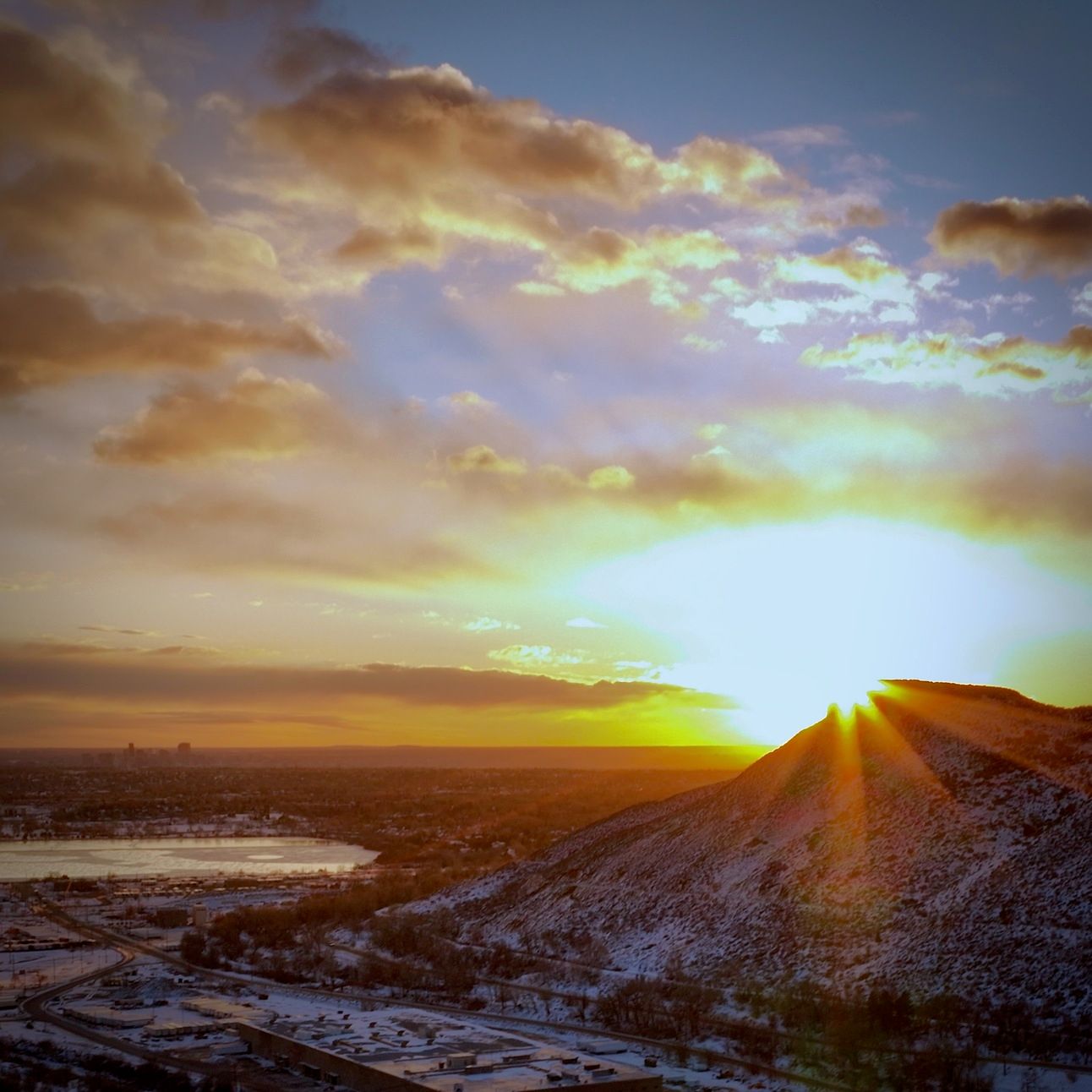
Sunrise over South Table Mountain and the former site of Arapahoe City, Colorado.
Once again, dark clouds were approaching, and the weather forecast was for one day of clear and warm weather before seasonal snow would settle in for the weekend. Snow from the last round of storms still covered the ground on North Table Mountain, but I could only view them from a distance using a telephoto lens to magnify the details. I read recently that there is a herd of elk currently living on Green Mountain, south of South Table Mountain, so I thought I might see some animals here, too, from a distance, but I was only able to capture rocks, snow and sky.
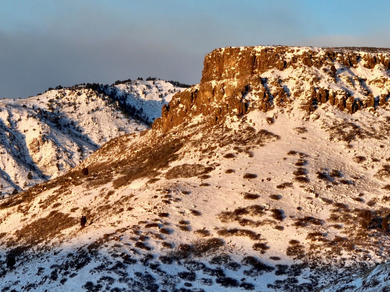
Cliffs on the southeast side at the top of North Table Mountain.
Just before sunrise, the clouds had cast Clear Creek and the landscape in a saturated glow. Getting to this point on this particular morning was much easier than accessing the canyon miles to the west further upstream, not that the ice-covered roads didn’t present their own challenges. A parking space in a ‘park and ride’ used by workers to commute to the construction work in the canyon provided exactly one space, as the van had already collected its crew and departed for the day to build more Jefferson County Open Space park trails in the foothills to the west.
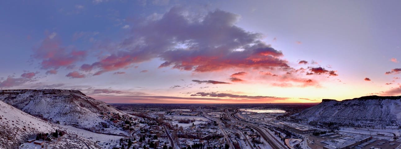
Panorama looking towards Denver between North and South Table Mountains.
I completed my pre-flight and launched, as it was well worth doing the research simply to get to this point! The colors before the sunrise were dramatic. And once the sun rose, the valley even lent itself to a “circular” interpretation with a DJI Mavic 3 capturing the 360° panorama. The highway thoroughfare snakes along the south side of North Table Mountain, running high upon the hillside opposite the glass factories and the breweries for Moulson Coors.
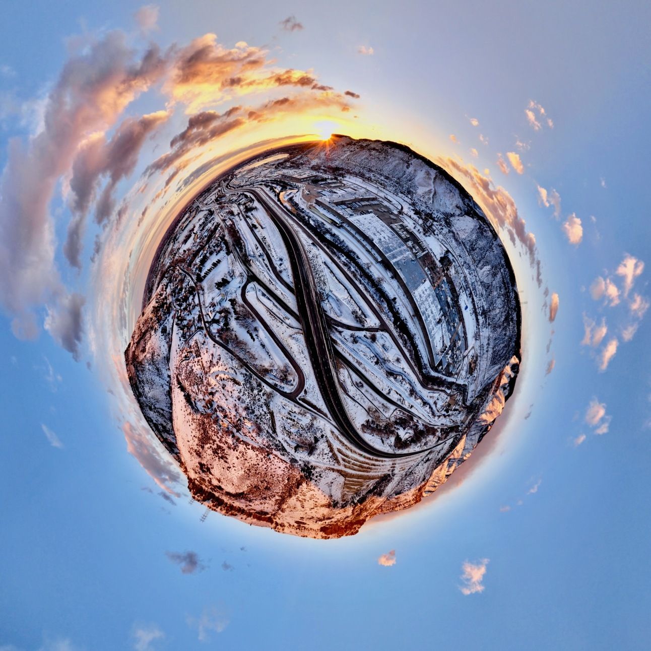
US Highway 58 runs along Clear Creek in this Tiny Planet 360° panorama.
With the rising of the sun, the hills above Golden revealed themselves covered in snow. In the picture below, the shadow of South Table Mountain mercifully hides the bulk of the brewery that otherwise dominates the town as well as the little valley. In fact, I can only view Golden from a distance, due to more local regulations prohibiting drone photography.
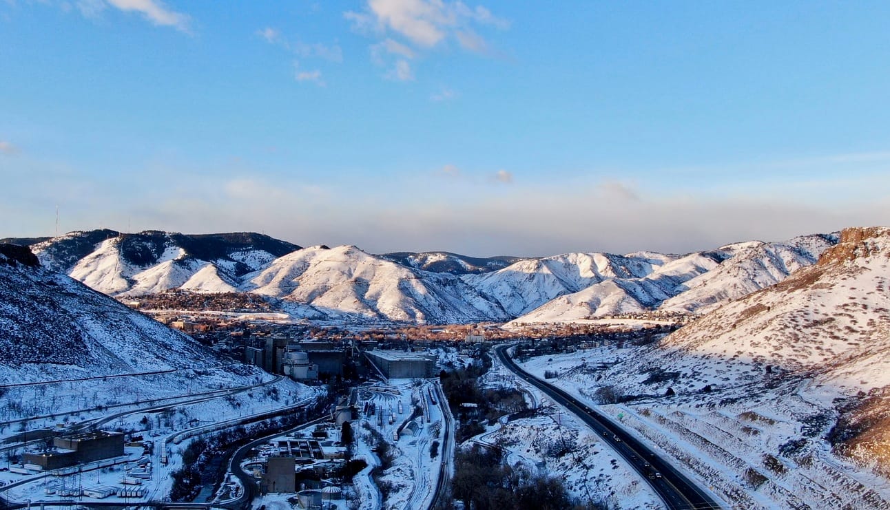
The town of Golden nestled in between peaks cut by erosion and development.
I was able to fly in a tight space between all the restrictions, not all of which were documented on an iPhone app that I use before I launch my drones, once called “B4U Fly” or something like that! The app is now more professionally referred to as “Aloft,” but I also had to research the local rules and regulations online for flying a drone. I even called the director of the parks and recreation district that serves the town of Fairmount, east of Golden, also including parts of Arvada and Wheat Ridge, to try to obtain a permit to fly in an actual park. It was good to speak with that person, but I never heard back…
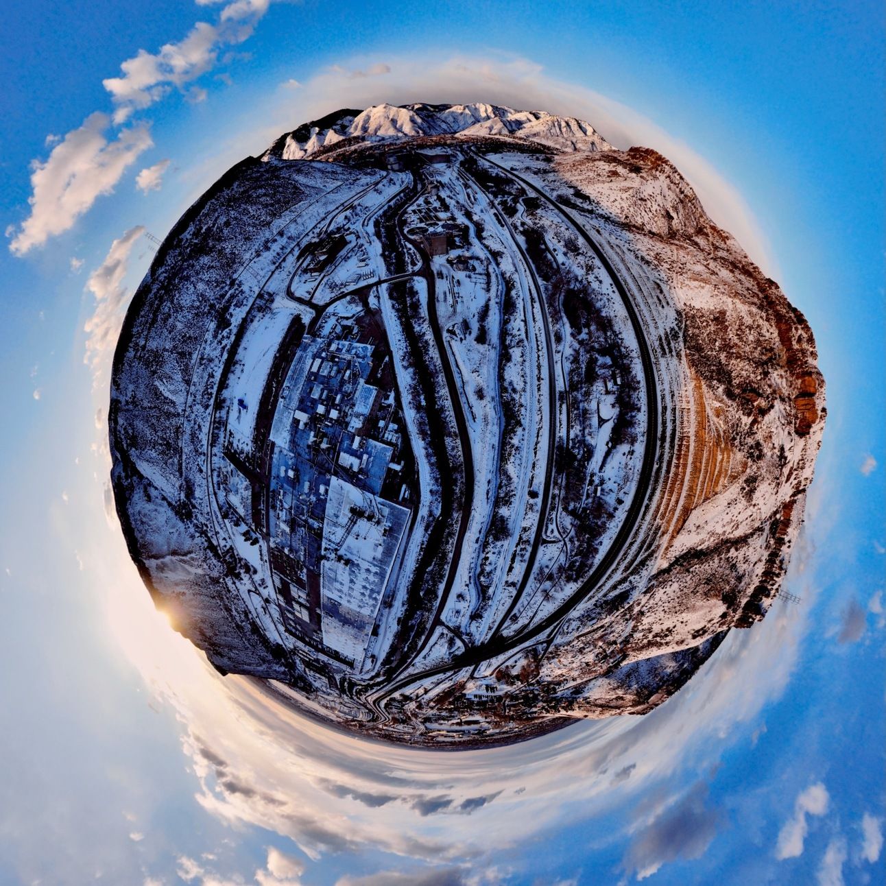
Golden is at the top of this Tiny Planet taken at sunrise with a DJI Mavic 2 Zoom.
More adventures along Clear Creek await me in the future, once more restrictions have been researched and addressed. I look forward to sharing them—the adventures, not the regulations(!)—with you, and also anyone else you think might also like to see more content like this. Thanks for reading all the way to the end!

